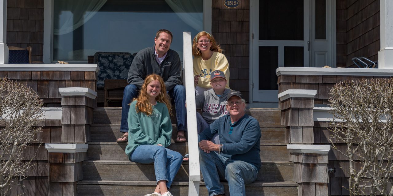
Kiting with Ryan and and Noah -click to enlarge
This is too cool! In the pictures above [around the middle] you’ll see a ship off shore we were fascinated by and unsuccessful in figuring out what type of boat it was.. It reappeared last night at 10pm, deepening our curiosity when I remembered a website I know of that could help. https://www.marinetraffic.com -but don’t got there yet. On this site you can zoom in on a map and click any vessel you see and so it was simple enough to find the boat 1/2 mile off shore from us in Cape May, before you get there it drops you on a map centered more or less on the Mediterranean, it is already amazing when you see the shear numbers of boats being tracked! Anyway here’s a link to the ship, Murden, a dredging vessel: https://bit.ly/3ObtJmV and from the other day, the Kathy Rose now 150 miles from Cape May, presumably hauling up scallops: https://bit.ly/38ICFQo
(Links open in new tab)
You can read about or see pictures of the vessel or close that pop-up and see it on a live map!
FYI, today we’ve been doing the same thing with planes we see!
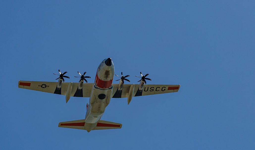
click to enlarge, at 1250′ this was the only one low enough to shoot
https://www.flightradar24.com/32.54,-79.98/8#
They all rented these bikes and it was anything but a simple peddle down at the ocean.. Meaning it was tougher than the ‘stress test’ my doctor wants me to take…


Nice photos, Gil!